
You won’t look at your property the same way again. We offer to map out your property to make 3D renders and give you the power to know what weather conditions are like right outside your house to give you more insight than the typical weather app.
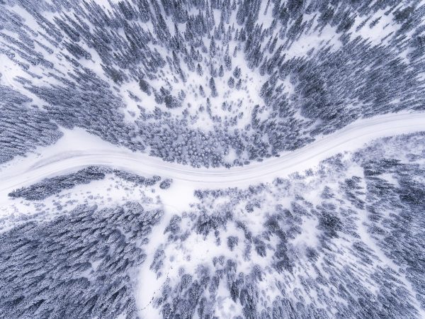
Aerial Mapping
Do you want to get a bird’s eye view of your property? We provide Aerial drone photography services to give you a view you wouldn’t get otherwise. We then offer the next step in seeing your property: topographic 3D renders of your property. 3D topographic maps offer an accurate representation of landscape showcasing all the features of a particular geographical area and are sure to meet your property modeling needs.
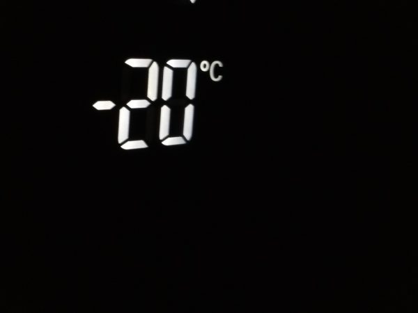
Weather Mapping
While you can check the general weather in an area, the weather at your business or home may be different. We offer a smart weather sensor solution integrated with your mobile phone. Know how hot it actually is where you care when you need to by using your phone. There is no need to guesstimate weather conditions anymore with our integrated smart weather solution.